Satellite Imagery
Satellite Imagery
- Land segmentation from sparse data
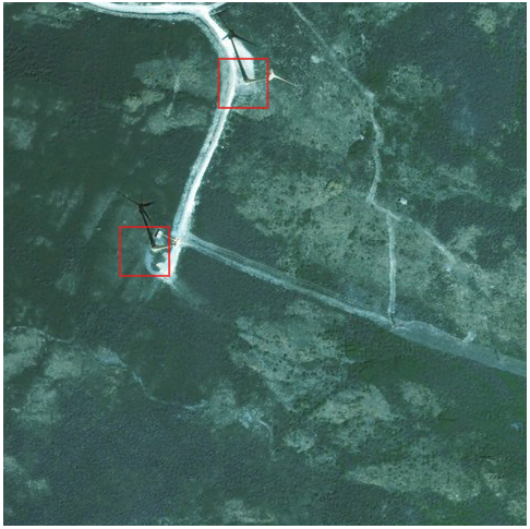
- Windturbines detection from space imagery
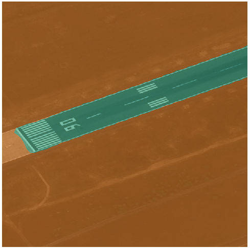
- Airport infrastructure mapping from space
- Vegetation management for electric power lines